
GIS Consulting Services
GIS Services to help you plan your next project
Our in-house specialists deliver smart, innovative mapping solutions and expert GIS consulting services designed to help you visualise, analyse, and manage spatial information with confidence.
We provide fully customised GIS and desktop mapping services to clients across diverse industries, ensuring every map and dataset supports informed decision-making and project success.
Spatial & GIS Services
We turn complex geographic data into clear, actionable insights. From interactive online mapping to detailed constraints analysis, our comprehensive GIS solutions ensure your spatial data is accurate, compliant, and easy to leverage for any project.
Web-Based & Interactive Mapping – Develop user-friendly online maps and solutions that make spatial data accessible for reporting, analysis, and stakeholder communication.
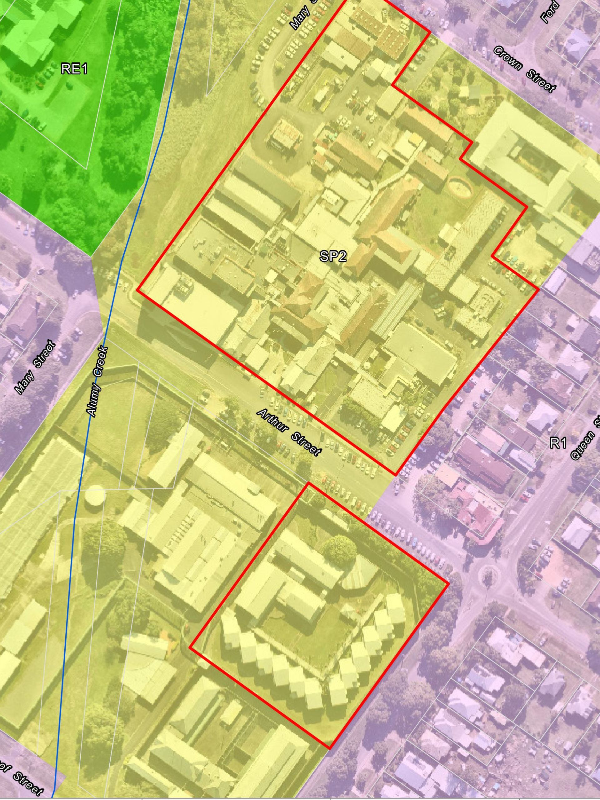
Spatial Data Analysis & Visualisation – Perform proximity analysis to identify spatial relationships, buffers, and zones, turning complex data into clear insights and high-quality reference maps for reports.
Data Capture, Management & Digitising – Collect, validate, and maintain accurate geospatial datasets, including transforming hard-copy maps, aerial imagery, and design drawings into precise digital GIS layers.
Constraints Mapping & Feasibility – Map environmental, planning, and infrastructure constraints to guide site selection, design, and project feasibility decisions.
GIS Data Creation & Format Conversion – Build custom spatial datasets tailored to your specific requirements and convert GIS, CAD, and other formats for seamless platform compatibility.
We combine advanced geospatial technology with local knowledge to provide reliable, actionable insights across every project.
The GeoLINK Advantage
Geospatial data is the foundation to smart decision-making. We deliver tailored GIS solutions across a diverse range of industries and sectors, including:
- Urban planning and development
- Bushfire assessment and risk management
- Infrastructure planning and delivery
- Agriculture and farming
- Environmental management and conservation
- Asset management and maintenance
- Renewable energy planning and assessment
Working with us means you benefit from a truly multi-disciplinary approach. Our GIS specialists work side-by-side with our in-house civil engineering, landscape architecture, and environmental professionals. This internal collaboration allows us to look at your project from every angle, transforming raw spatial data into comprehensive, real-world solutions.
Explore our Services





Subscribe to our newsletter
Sign up to our seasonal newsletter for our latest project news, industry insights and office updates.